☰ Menu
After Effects
Broadcast Packages
Element 3D
Elements
Infographics
Logo Stings
Openers
Product Promo
Titles
Video Displays
Apple Motion
Elements
Logo Stings
Openers
Titles
Video Displays
Premiere Pro
Broadcast Packages
Elements
Infographics
Logo Stings
Openers
Product Promo
Titles
Video Displays
DaVinci Resolve New
Broadcast Packages
Elements
Infographics
Logo Stings
Openers
Product Promo
Titles
Video Displays
Motion Graphics
Backgrounds
Bugs
Elements
Infographics
Interface Effects
Lower Thirds
Overlays
Revealer
Transitions
Miscellaneous
Stock Footage
Buildings
Business, Corporate
Cartoons
City
Construction
Education
Food
Holidays
Industrial
Kids
Lifestyle
Medical
Military
Nature
Overhead
People
Religious
Science
Slow Motion
Special Events
Sports
Stop Motion
Technology
Time Lapse
Vehicles
Weather
Add Ons
After Effects Presets
After Effects Scripts
Premiere Pro Presets
More
Cinema 4D Elements
Cinema 4D Logo Stings
Cinema 4D Openers
Cinema 4D Titles
Cinema 4D Video Displays
Logo Files
News Files
Wedding Files
Home
×
After Effects
Apple Motion
Premiere Pro
DaVinci Resolve New
Motion Graphics
Stock Footage
Add Ons
2026's Greatest Length Video with 0 17.
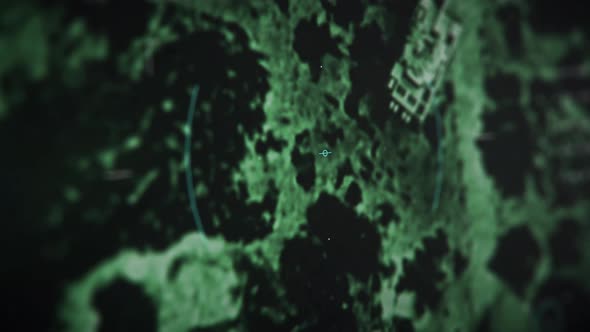
Night Target Detection And Explosion By Modern Army Drone Weapon System
U360
Demo
Download
Detail
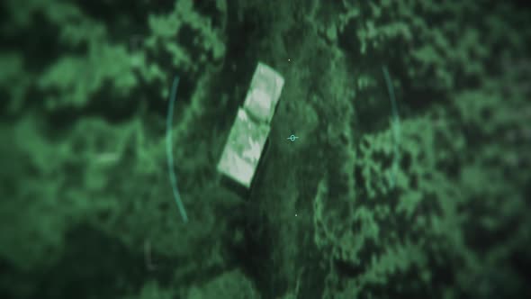
An Army helicopter is attacking the rival tank using the night vision system
U360
Demo
Download
Detail
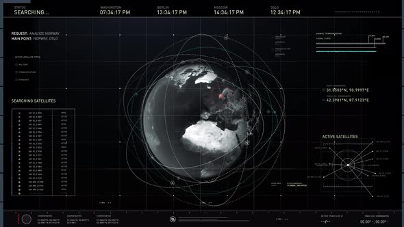
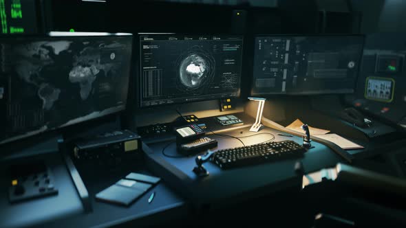
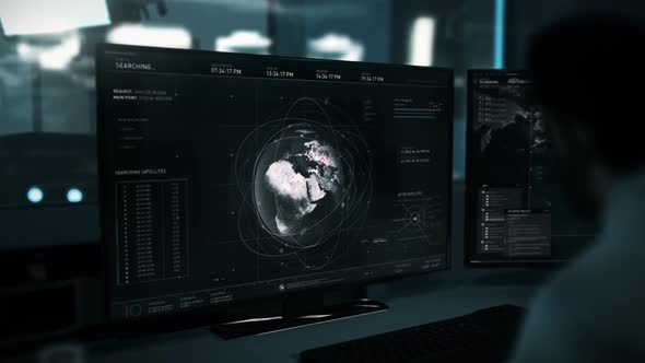
Dark world map appearing on screen. Satellites orbiting earth. Tracking location
U360
Demo
Download
Detail
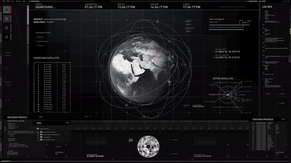
Analysis of the satellite network position orbiting above the selected territory
U360
Demo
Download
Detail
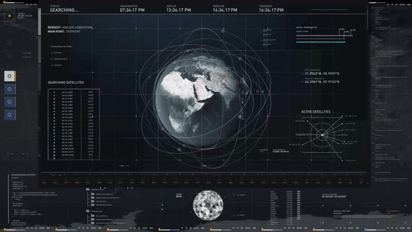
Global Satellite analysis technology is searching for the target position
U360
Demo
Download
Detail
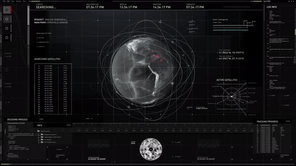
Globe Analysis System Sends Space Satellites To Scan Territory Of Venezuela
U360
Demo
Download
Detail
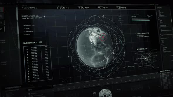
Global Satellite Scanner Discovers Tracked Target Position On USA Territory
U360
Demo
Download
Detail
Night vision system launches a tactical rocket attack at enemy military vehicles
U360
Demo
Download
Detail
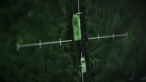
Tracking Target Location In Spy Satellite Scanner Surveillance Network
U360
Demo
Download
Detail
Digital Network Scanning Location On Global Map By Modern Space Satellites
U360
Demo
Download
Detail
« Previous
Next »
Your experience on this site will be improved by allowing cookies.
Allow cookies